Grand Forks ATV | Grand Forks Trails
Welcome to Grand Forks ATV Maps
General Description:
Grand Forks ATV generally operates within the Regional District of the Kootenay Boundary in southern British Columbia, Canada. This area spans 8500 square kilometers from Rock Creek in the west along Highway 33 up to Big White, eastward to the Lower Arrow Lake at Edgewood, down the Lower Arrow Lake to Castlegar and Trail. Our southern boundary is the Canada/US border, and north to Highway 6.
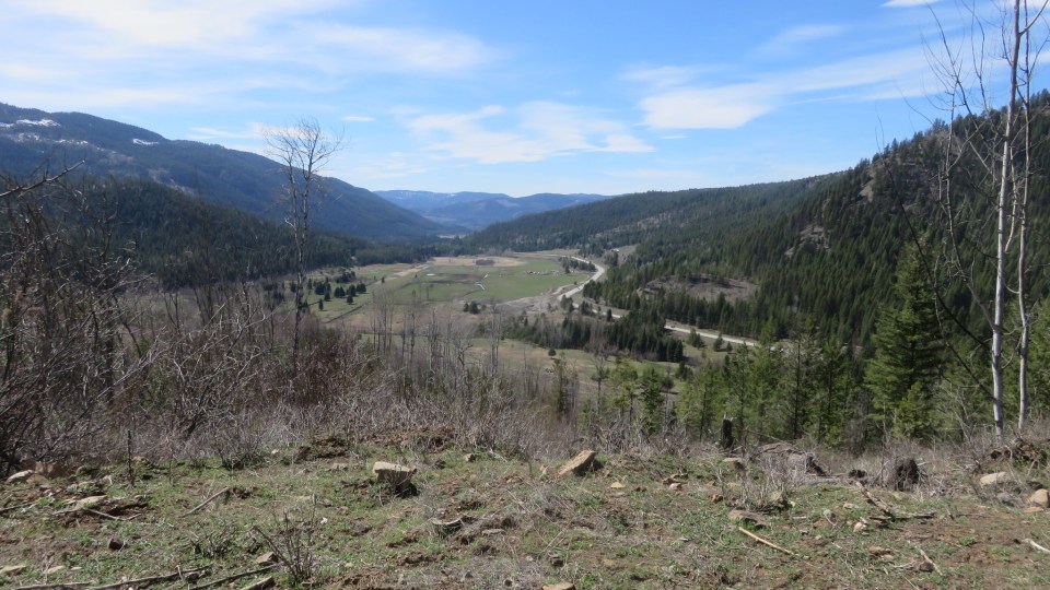
The North Fork gets its name as the Granby River creates the Northern direction fork in the Kettle River which flows from north to south, before entering the Columbia south of the border.
The area immediately north of Grand Forks, this area is accessed mainly from the North Fork road, but can also be accessed from Highway 3, near Wilgress Lake.
Attention: Maps are under construction and for reference only.